Aerial photogrammetric survey
Visualization of current site conditions with 5 to 10 times better quality than Google Earth. With the "Digital Twins" smart city simulation, visualize live integration of volumes, future project designs, loT sensor information, and much more.
ECHANDENS
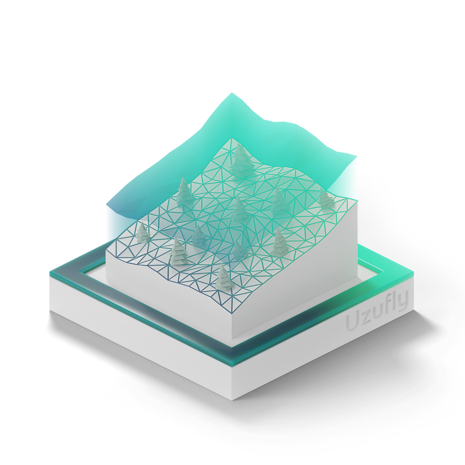
Topographic survey optimized for you
Topographic Survey
We assist our clients in digitizing and transforming our 3D digital twins into topographic plans at any scale and in any format (vector/raster).
These plans generally render the elevation of the natural terrain (DTM), the built-up areas, the roofs, the vegetation, the impervious surfaces, the sidewalks, the roadways (delimitation, outcrops, horizontal and vertical signs) and other additional elements adapted to your needs.
These plans generally render the elevation of the natural terrain (DTM), the built-up areas, the roofs, the vegetation, the impervious surfaces, the sidewalks, the roadways (delimitation, outcrops, horizontal and vertical signs) and other additional elements adapted to your needs.
How are the topographic surveys applied?
Urban planning - Architects
Raw point cloud as well as the digital terrain model "DTM" including additional vectors (buildings, vegetation, markings, etc.) and the orthophoto in DWG format
Infrastructure - Engineers
Environmental surveys

